Rangamati | Bandarban | Khagrachhari Distance from Chittagong is 92 km. Bandarban District is under Chittagong division with an area of 4479 sq km, is bounded by Rangamati district on the north, Arakan (Myanmar) and the river Naf on the south, Arakan and Rangamati district on the east and Chittagong and Coxs Bazar district on the west. Bandarban mostly consists of forests and hills. Main rivers are Shankha (Sangu), Matamuhuri and Bakkhali. The four major mountain ranges of the district are the Meranja, Wailatong, Tambang and Politai. Bagakain or Baga Lake is notable. Annual average temperature maximum 34.6°C and minimum 13°C. Annual rainfall 3031 mm.
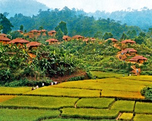
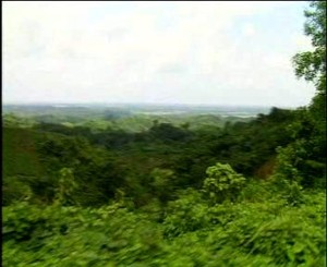
Historical events are The British rulers declared Bandarban as a forest zone because of its vast forest area devoid of human settlement. The Arakanese were permanently settled in Bandarban after the British ascendancy in Arakan. of Myanmar in 1824. While going to Bangladesh tourists are chrmed with the beauty. The colorful life of Marma people. Jhum cultivation, hills, forests- all are equally changing Highest mountain ranges, rivers and forests are notable in Bandarban. The district town is at the foot of the hill beside the river sangu, both sides of the rivers are hills convert with forests where wild animals graze. The highest mountain peak Tengcodong (Tazendong), secred highest Keo crudung is in Bandarban. Tourists can go up the Chimbuk hill, on the way they can come accross Bagalake. All these made Bandarban a beautiful place.
|